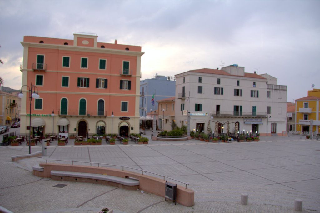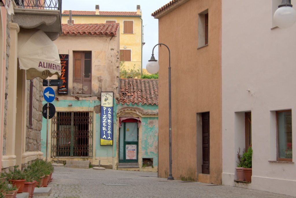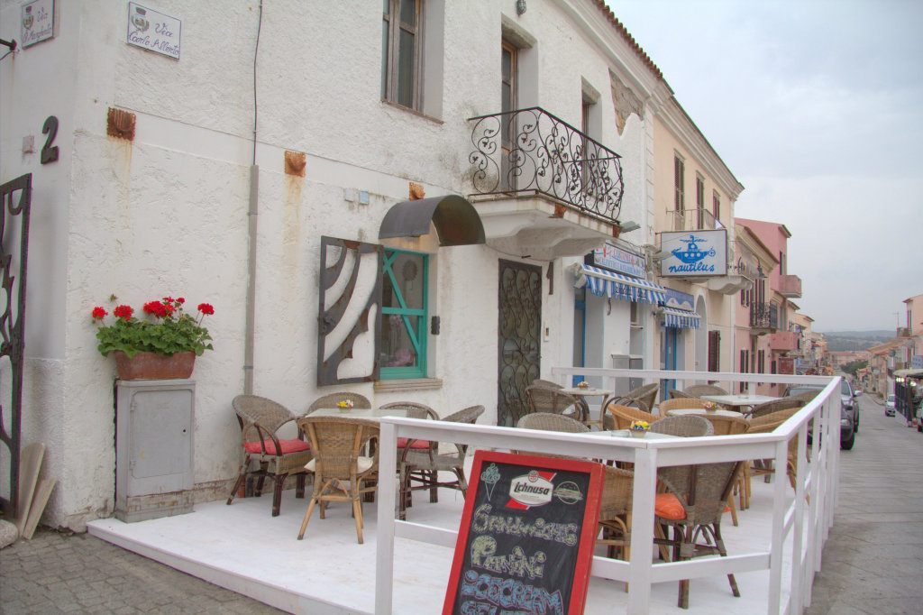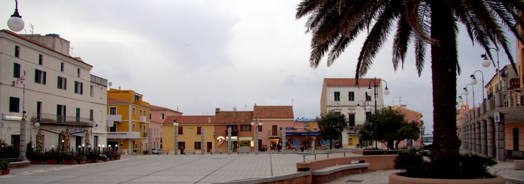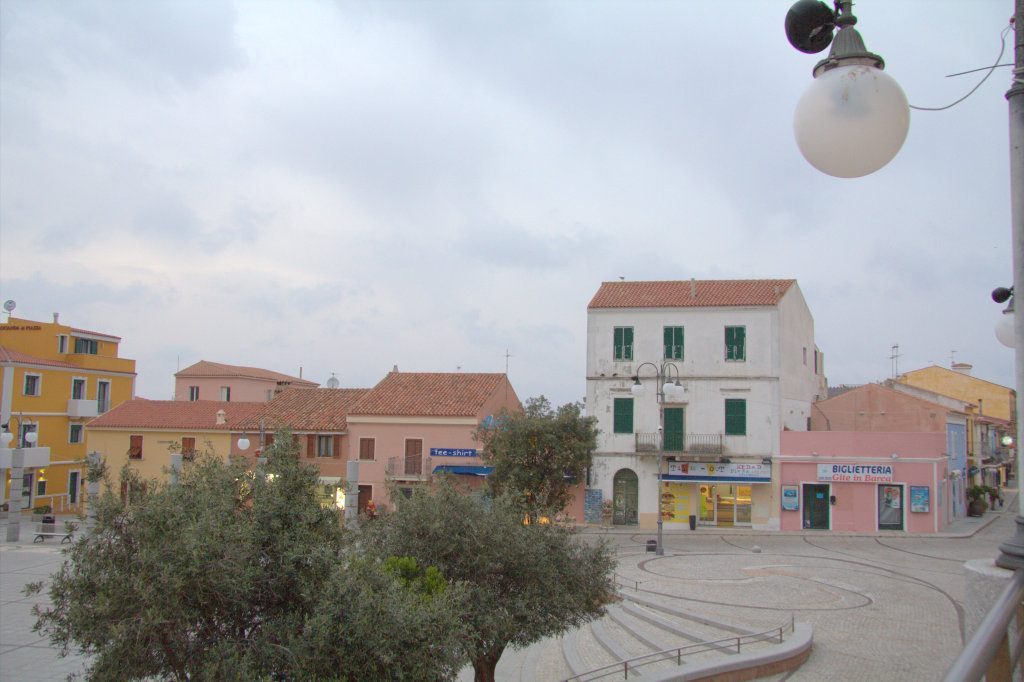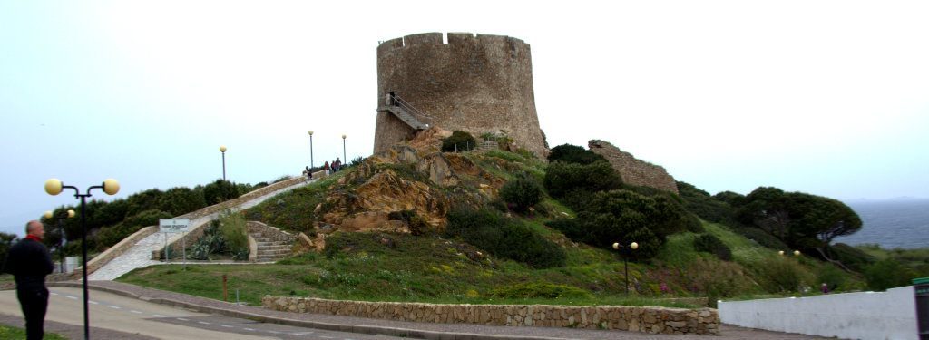
The town of Santa Teresa di Gallura protrudes on a small promontory towards Corsica, The French island that is located geographically north compared to Sardinia.
The distance with the French border is only 11 miles, just over kilometers.
To the north east of the country is instead the Archipelago de la Maddalena, A group of Italian islands located in the Sea of Sardinia.
The development of the country is divided into two flaps of land, Sea inlets: One where Porto Longone is located and the other is Rena Bianca. The first area takes its name from a marina that is located there, while the second presents one of the most beautiful beaches in Sardinia if not in Italy.
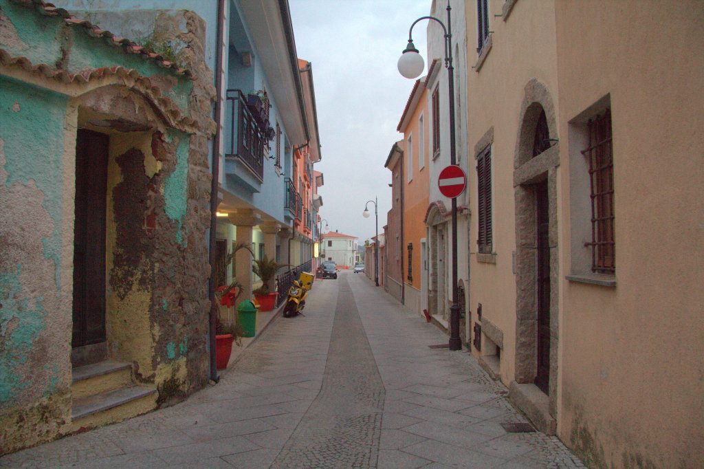
As a whole, the country is typical of Roman camp, rectangular plan with the perpendicular ways with each other, The Castro and the Decumano. This topography derives from military camps of Roman origin but imported from Piedmont, which here had considerable influence throughout history.
As a whole, the country is typical of Roman camp, rectangular plan with the perpendicular ways with each other, The Castro and the Decumano. This topography derives from military camps of Roman origin but imported from Piedmont, which here had considerable influence throughout history.